
July 13, 2017
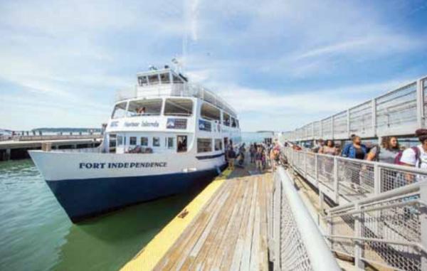
Could passenger ferry service work along Dorchester’s waterfront? Photo courtesy Boston Harbor Now
With its 180 miles of shoreline, Boston Harbor boasts a vibrant waterfront community, one that the group Boston Harbor Now believes could benefit from new and increased passenger ferry service. The non-profit announced a partnership with the consulting firm Steer Davies Gleave and engineering firm KPFF last week to launch a nine-month study and planning process to identify possible ferry launch sites.
“We’re going to be looking at which 25 sites around Greater Boston we want to be studying, and we’ll move forward from there,” said Alice Brown, director of water transportation at Boston Harbor Now. “We’ll do surveys later this summer … across the Boston region to look at different travel patterns and determine the likelihood that people will be using a variety of new possible ferry services.”
Brown said the surveys will be especially important, as they will allow researchers to determine if more water options would make a difference in commuters’ lives. The goal is to find sites where new or increased ferry service would be both helpful and financially sustainable in the next one to five years, she said.
Dorchester, a key waterfront community close to downtown, presents several potential sites for ferry depots, including the JFK Library and Museum, the University of Massachusetts Boston, and Port Norfolk.
“There’s not a cut-and-dried answer to how Dorchester will be impacted,” Brown said. “The purpose of the study is really to look at the most feasible locations to expand ferry service in Greater Boston.”
In the coming weeks, Boston Harbor Now will hold a series of workshops. One will take place on July 10 in Salem, one on July 11 in Quincy, and one on July 12 in downtown Boston. The Boston meeting will be held at 8:30 a.m. at the State Transportation Building at 10 Park Plaza.
“What I’m excited about is the amount of change we’ve seen around water transportation,” Brown said, citing Winthrop and Lynn as towns that have recently acquired boats. “There are new routes like that, that are just taking off.”
According to Boston Harbor Now, the study will analyze ferry dock sites and potential routes by modeling potential demand, operating costs, and capital costs. It will also keep an eye toward clean energy, using best practices to incorporate alternative clean fuel vessels and modeling how water transportation can reduce emissions from ground transport. The group will share its data with the Massachusetts Water Transportation Advisory Committee and the Boston Harbor Island Partnership.
Boston Harbor Now notes that last comprehensive water transportation plan was completed in 2000, when Boston had “significantly less waterfront development.”
Said Brown, “We’re just trying to create a really valuable data set that can be used by a variety of developers to move ferries forward in the coming years.” She added that right now, information about ferry service is scattered among sites like the Steamship Authority and the MBTA. She and her colleagues want to turn Boston Harbor Now into “one-stop shopping” for ferry information.
“We’re seeing, with more development on the waterfront and more people turning to the water as an alternative to relieve congestion, there are more and more options,” Brown said. “And we’re trying to coordinate with people to understand all of these options.”
Topics:

