September 13, 2017
By Mike Prokosch, Special to the Reporter
The hurricanes just keep on coming. Last week, one of the most powerful storms ever recorded left a number of Caribbean islands barely livable.
Two weeks earlier, Hurricane Harvey dumped a whole year’s rain on Houston. Refineries shut down, chemical plants caught fire, toxins flowed into the water while storm drains and sewers overflowed. Parents pulled their children through that chest-high water in plastic tubs.
And as the water began to recede, people started to ask: Why was this storm so devastating?
One reason is clear: The weather is getting much, much worse. Climate scientists have been predicting extreme storms, but they are coming along much faster than predicted. Houston didn’t have to wait a thousand years for a “thousand-year storm” like Harvey.
Another reason should now be clear: Houston grew too fast. The land is bayou country: swampy, flat, and slow to drain. Prairies and wetlands used to absorb rainfall, but developers paved them over and slapped buildings on them. The breakneck building boom made Houston a target for expensive storms. Floods in 2001, 2015, and 2016 killed 38 people and caused $6 billion in property damage, with the 2001 storm alone damaging 73,000 residences. And they kept building.
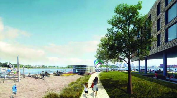
Were they smart to put so many buildings on land that was so vulnerable to floods? Well, is it smart to put more buildings in Glover’s Corner, Port Norfolk, Columbia Point, and on the Globe site?
A developer wants to put 150 condos, a small hotel, and a restaurant on the Port Norfolk marina property. Flood maps from last year’s Climate Ready Boston report show that land will go under water during storms as soon as 2050 – sooner if climate change keeps accelerating. How will residents get out, and emergency vehicles get in, if the roads flood, as other maps show for the years after 2050?
The same maps show parts of Columbia Point under water during 2050s storms, with the surrounding area and Morrissey Boulevard flooded in following years. And Glover’s Corner, although protected from sea level rise by the Expressway, is on very low land that could easily flood in big storms.
All of which will be bad enough for people with the cars, money, and strength to get out fast. It will be far worse for the most vulnerable: people with medical conditions, old folks and children, lower-income families, people of color. They are the ones who died during Katrina and Sandy.
People with less mobility and money are stuck when storms hit. They can’t call in private rescue services. They often live in the most marginal, flood-prone places. If they survive, they lose their homes, and they don’t come back.
A Katrina, a Sandy, or a Harvey could devastate Dorchester. And it could happen well before 2050. How can we avoid such a disaster?
One step is obvious: Slow down the changing climate. Switch from fossil fuels to renewable energy as fast as we possibly can. Scientists agree that if we keep burning gas and oil, climate change will accelerate. City officials are encouraging us to weatherize our homes, but they’re not trying to switch us over to wind and solar power.
That could change very soon. In October the City Council will take up a proposal for Community Choice Energy, which would add more renewable power to the electricity we use without raising our bills, and encourage the energy industry to build more solar and wind farms. Cities around Boston are doing it successfully and most members of the city council favors that program. Mayor Walsh should endorse it now. It’s the fastest, cheapest way to start us down a fossil-free road.
Another step we can take is to hit the “pause” button for new projects until we know we can develop flood-prone land safely. East Boston and Charlestown residents are working with City Hall staff to flood-proof their neighborhoods. Floodgates, levees, and “buffer” parks that absorb storm water could help. But buildings will also need to be flood-resistant, with utilities on the roof and high first-floor ceilings. Buildings should be very energy-efficient with backup systems so they can stand alone. Neighborhoods may need to lay out some new building standards until the zoning and building codes catch up with climate reality.
Boston Planning and Development Agency staff are confident they can solve flooding problems in Glover’s Corner with buffer parks that absorb storm water. But area residents need much stronger research and analysis on climate change and sustainable development so that they can reach their own conclusions about what’s safe. BPDA needs to provide analysis about housing and displacement as well. Gentrification, displacement, and climate change are all threats to Dorchester, and especially to working-class people of color here.
The BPDA states that it strives to honor community-driven planning and to base policy decisions on strong data and analysis. Planning is about the future – our future. Let’s share the info and take the time to get it right.
Mike Prokosch of Dorchester works with Boston Climate Action Network and with community groups concerned about Glover’s Corner development.